|
Maps, Greece and History
By Jason C. Mavrovitis
Continued from previous page
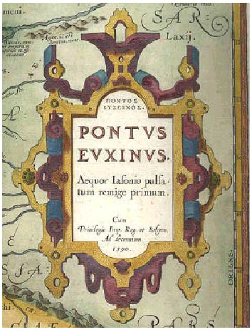
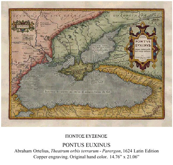
From the beginning of recorded history, the Pontus Euxinus, or Black Sea, was Greek, and Greek colonies that surrounded its shores appeared as gems in the necklace shaped by the shore of the sea. In extensive texts on the verso (back) of the maps Ortelius discusses the material presented in them and cites his sources. Following are excerpts from the 1606 English edition of the Pontus Euxinus (modernized).
|
The sea which we intend to describe here (made famous by ancient
writers through the Argonautes and the fabulous story of the golden
fleece) as we find <them> recorded, <is known> by different names: first
it was called PONTUS by the person <called> Synedoche. The PONTUS
AXENUS, that is inhospitable , the sea without harbors, but afterwards it was named PONTUS EUXINUS, hospitable mare, the good harbor as Pliny, Ovid and others report.
Strabo in the seventh book of his Geography says that there are about 40 rivers which, coming from various quarters, empty themselves into it. Yet, this Map of ours shows a great many more coming from various sources. The more famous cities on the coast of this sea are BYZANTIUM (Constantinople) … then TOMOS … famous for the banishment and exile of the noble poet Ovid. BORYSTHENES, also called Olbia or Miletopolis … TRAPEZUS (now vulgarly called TREBIZONDA) … SINOPE … HERACLEA … CHALCEDON.
They who take pleasure in fables or fiction by poets belonging to this Pontus or who speak about it, let him turn to Senecas Medea, or the Iphigenia of Euripides, and others that have written about the voyages of the Argonauts, or the story of Iasons Golden Fleece. |
|
|
|
|
|
|
|